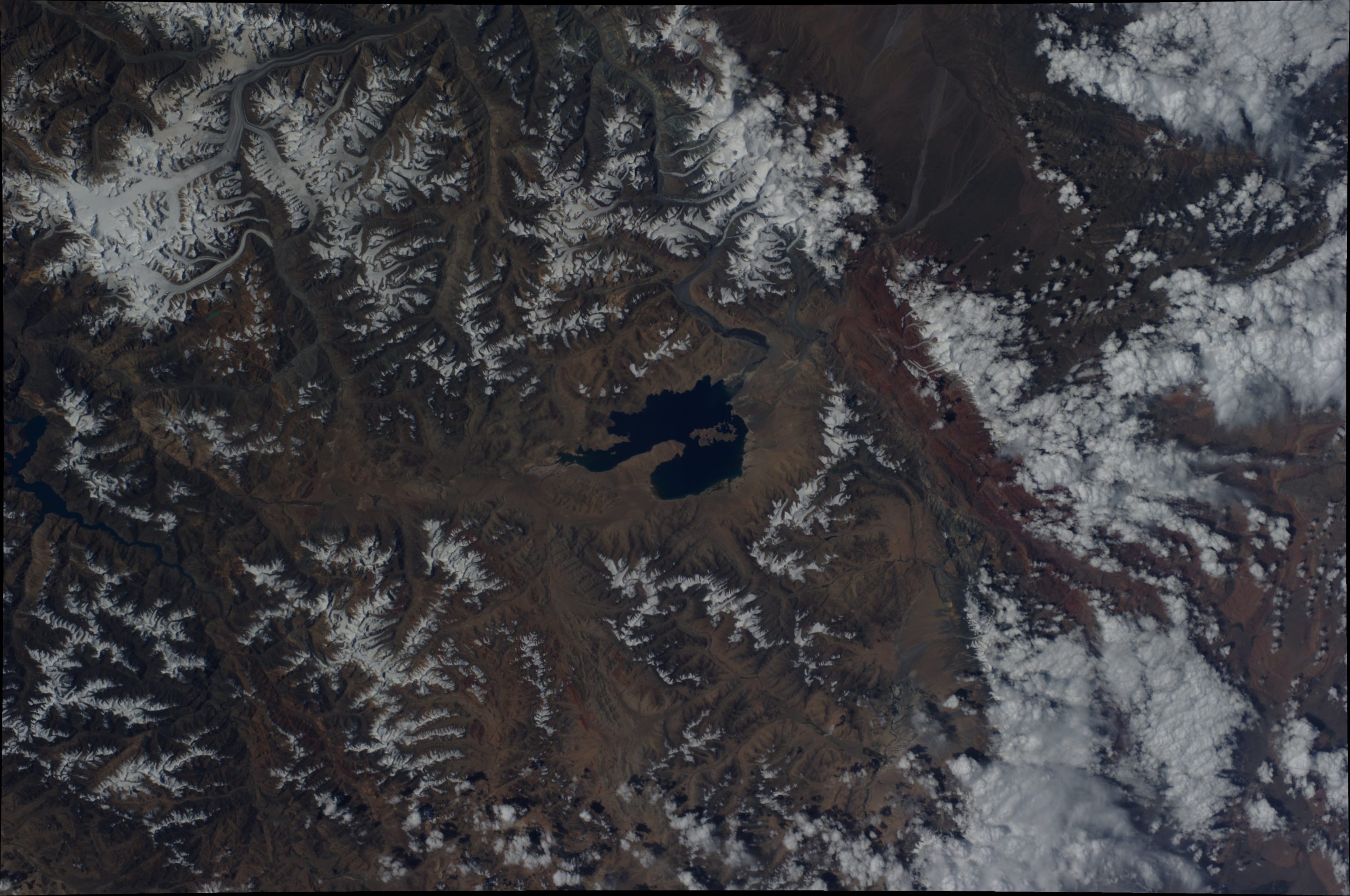
March/April: Glacial Lake Karakul, Pamir Mountains
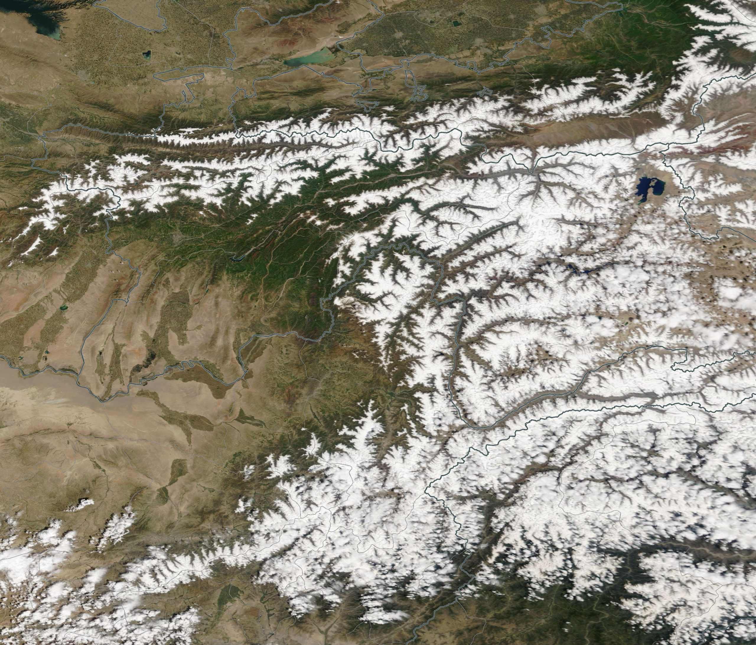
Lake Karakul (also Kara-Kul; Tajik for “Black Lake”) is located in eastern Tajikistan, high in the glaciated Pamir Mountains, and administratively forms part of the Gorno-Badakhshan Autonomous Region in Central Asia. Covering roughly 380 km², it is a high‑altitude, endorheic glacierised-basin lake, fed by water from surrounding glaciers.
It lies south of the Trans-Alai Range, about 15 kilometres west of the border with China’s Xinjiang Uyghur Autonomous Region and approximately 225 kilometres west of the city of Kashgar in a straight line. Situated at an elevation of around 4,020 m asl, Lake Karakul is among the world’s highest large lakes. It is encircled by numerous striking, very high mountain ranges. Access from the north is possible via the Kyzyl-Art Pass (4,270 m) along the Pamir Highway. The settlement of Karaart is located on the lake’s eastern shore.
Glacial lakes are natural water bodies formed through glacial processes, particularly the melting of glacial ice and the damming of water by moraines or ice barriers. In Tajikistan, such lakes are found predominantly in the high-mountain regions of the Pamir and Hisor-Oloi systems, occurring mainly at elevations between roughly 2,500 and 5,000 m asl. Their formation is closely linked to increased melting in both the accumulation and ablation zones of glaciers.
Long-term studies of representative reference glaciers in Tajikistan show that, from the beginning of systematic glaciological surveys in 1956 until 2021, virtually all observed glaciers have been retreating continuously. This trend is particularly pronounced in the major river basins, which also contain the country’s most extensive glaciated areas. Glacier retreat is evident in the marked reduction of glacier area, the recession of glacier tongues, the lowering of glacier surfaces, and a substantial loss of ice volume.